DATE
14th November 2024
CATEGORY
Artificial Intelligence, Blue Carbon, Climate Change and Sustainability, Digital and Technology, Expertise
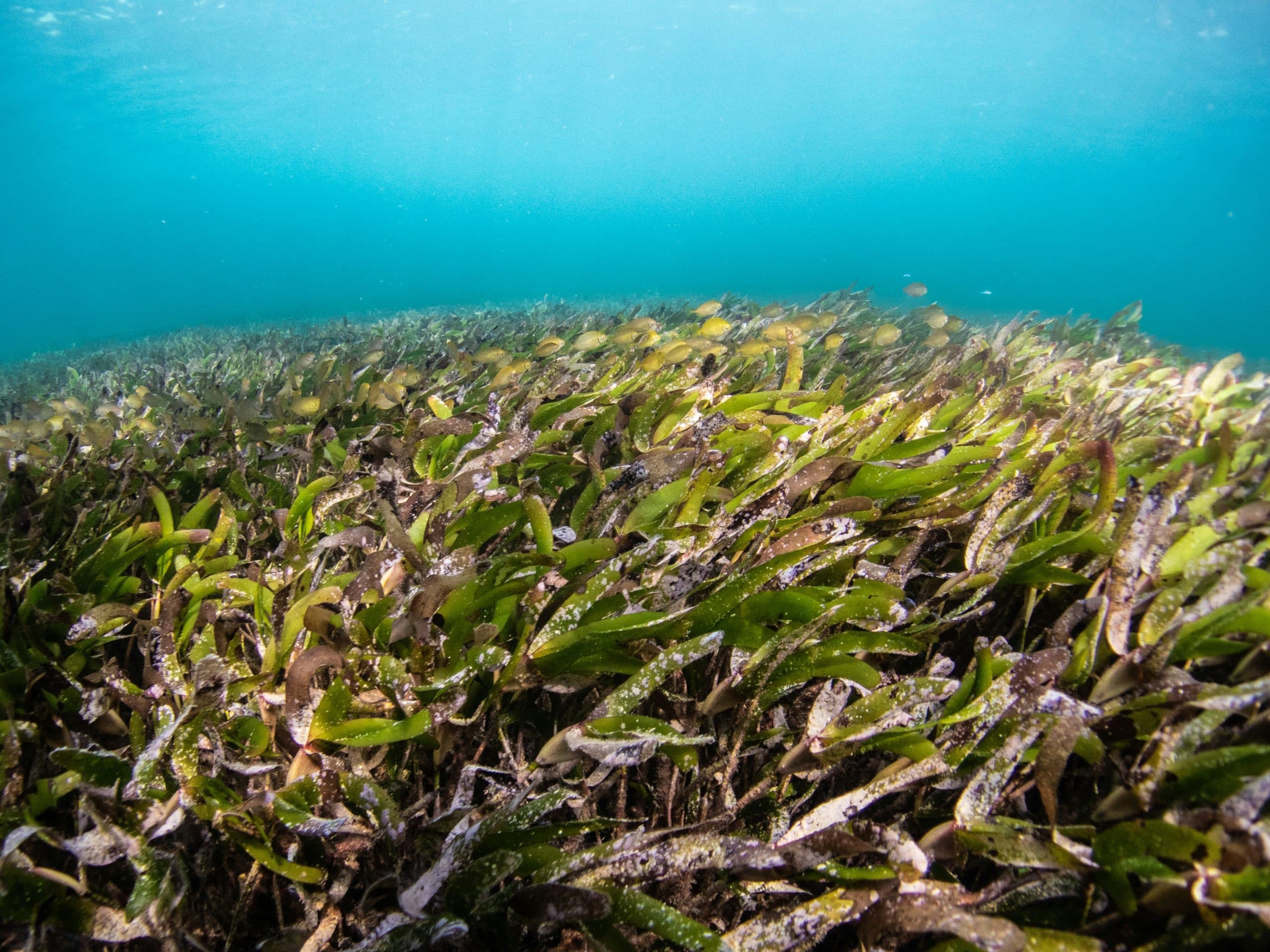
Seagrass is the only flowering plant that can live underwater, thriving in near-shore waters of most of the world’s continents, except Antarctica. These vital ecosystems provide habitats for many small marine animals and play an important role in coastal health by absorbing nutrients from runoff and stabilizing sediments, which helps keep the water clear. Seagrass meadows support diverse animal species and enhance their populations through complex habitats. Found on reef flats and near estuaries, these meadows act as nutrient sinks, filtering harmful chemicals that enter the ocean while also stabilizing coastal sediments. They provide essential food and shelter for many marine organisms and serve as nursery grounds for commercially important species like prawns and fish. The high growth rates of seagrass contribute to the productivity of nearby fisheries and support various food chains reliant on herbivores and detritivores, making seagrass meadows among the most productive ecosystems in the sea.

In addition to their ecological significance, seagrass meadows are economically valuable, though quantifying this value can be challenging. They rank as the third most valuable ecosystem globally per hectare, following estuaries and wetlands. The average estimated value of seagrass ecosystems for their nutrient cycling and raw material production is about $19,004 per hectare per year (in 1994 US dollars). This figure would increase significantly if we also considered their contributions to habitat provision and food production. Furthermore, seagrasses play a critical role in carbon capture, helping mitigate climate change by absorbing carbon dioxide and sequestering it in their biomass and sediments. Given these crucial ecological functions, seagrass transplantation has become an important conservation strategy to restore degraded meadows, improving their capacity for carbon sequestration and highlighting the need for ongoing conservation and restoration efforts.
Jump into the seagrass transplantation process, the normal step we should take are (as a normal people) literature review, local interview, baseline survey, data processing, and data calculating. These steps will lead into site transplantation prediction that have a probability of “you cant plant the seagrass there”. So we developed the method or steps before deciding the site transplantation using satellite imagery to get the value of the PTSI (Preliminary Transplant Suitability Index) and the calculation parameters trained using Bi-LSTM to predict the seagrass transplantation site. The aims of the developed methods are Identifying optimal sites for seagrass transplantation, evaluation optimal sites for seagrass transplantation, and verifying the Bi-LSTM model in real sites. The name of the tool is PLANT (PLABS Seagrass Location Analysis Network Tool) it predicts ideal seagrass transplantation sites to help reduce blue carbon, also aiding companies in carbon trading.

We get the PTSI variables mostly from secondary data websites such as oceancolor, ecmwf, WOD, gebco, BATNAS and some primary dataset from KOMITMEN Research Group. The variables that we calculates are sea surface temperature, water salinity, dissolve oxygen, pH, total suspended solids, bathymetry, and historical seagrass. we can get every dataset except the TSS (Total Suspended Solid) that we need to calculate using satellite datasets like LANDSAT or SENTINEL using Google Earth Engine if you need the process here is the link.
The steps to use the tool is very simple, you only need to click the add polygon button (small square button) and contain the area you want to detect, and scroll down the dashboard until you see “Start analysis” and click it. The result will shows the contained area with red or green dot. The green one is the suitable location for seagrass transplant and the red one isn’t. Or if you don’t understand the steps, you can just ask to the chatbot placed in down left of the interface, for example “analyze the seagrass transplantation in dompak island”, that prompt can make the application make a polygon around Dompak Island and analyze the transplantation location and shows the parameters analysis.
