YEAR
2022
INDUSTRY
Technology
SERVICES
Business Support System
THE OBJECTIVE
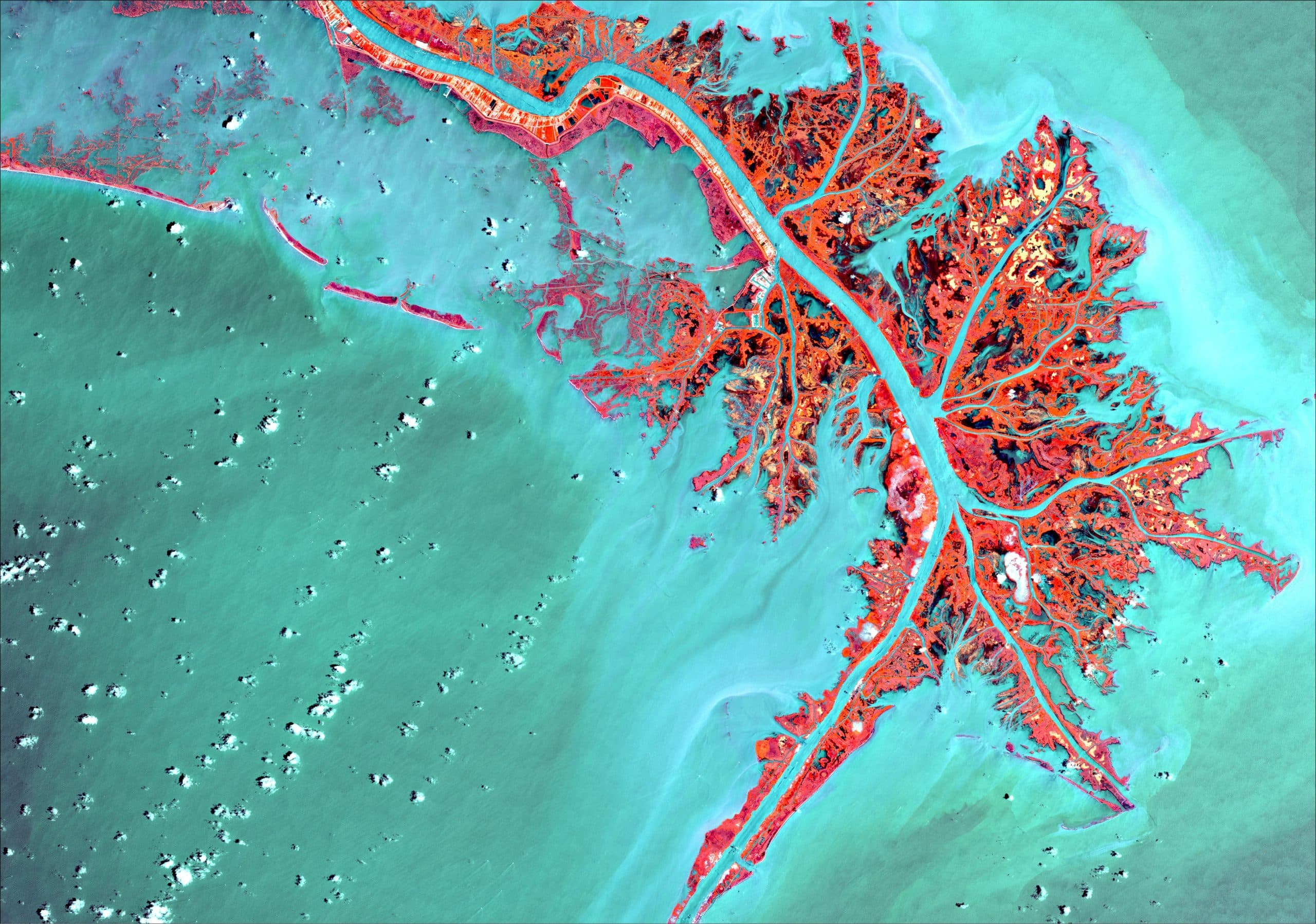
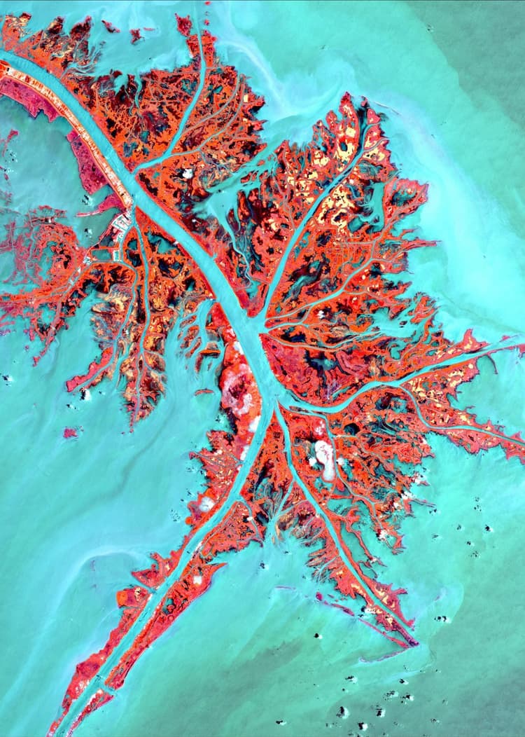
A government agency responsible for monitoring and managing natural resources sought to enhance its geographic surveillance capabilities. The existing systems lacked the sophistication to provide detailed, real-time data for effective decision-making. Partnering with our team, the agency embarked on a transformation initiative to implement a Geographic Information System (GIS) Technology. This solution aimed to deliver a detailed and sophisticated information system to optimise geographic surveillance and resource management. The goal was to design and implement a GIS-powered information system that could streamline surveillance and decision-making processes.
OUR WORK
Our strategy focused on leveraging GIS technology to build a comprehensive and user-friendly system:
- Advanced Mapping Tools: Developed a GIS platform with high-resolution mapping capabilities and real-time data visualisation.
- Data Integration Framework: Integrated data from satellite imagery, IoT sensors, and field reports into a unified system.
- User-Friendly Interface: Designed an intuitive dashboard for stakeholders to access and analyse geographic data with ease.
- Training and Support: Provided training for agency staff and ongoing technical support to ensure system adoption and effectiveness.
This case study highlights the transformative potential of GIS technology in geographic surveillance and resource management. By integrating advanced mapping tools and data analytics, the agency not only enhanced its operational capabilities but also set a benchmark for leveraging technology in public sector initiatives. This project serves as a model for other organisations aiming to optimize geographic surveillance and drive informed decision-making through sophisticated information systems.
Surveillance System at its Finest